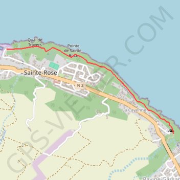
Sentier pecheur sainte rose-16490241
- Distance: 2.3 Km
- Elevation gain: 31 m
- Maximum elevation: 16 m
- Elevation loss: 27 m
- Minimum elevation: 3 m
- Moving time: 27 m 50 s
- Moving speed: 5.0 Km/h
- Maximum speed: 5.2 Km/h
- Total time: 27 m 50 s
- Global speed: 5.0 Km/h
- Date: 05/04/23
Interactive map
GPS track profile
About this GPS track
Name: Sentier pecheur sainte rose-16490241 GPS track, route, trail
Coordinates: -21.13386 55.78870 -21.12519 55.80649
Other GPS tracks
Click on a GPS track to view route, its statistics and profile.
🚶 Trace ,boucle du tour de La Réunion par La Montagne
France > La Réunion > Saint-Denis
🌍 Tag : #FranceTourisme #OfficeTourisme #RandonnéesFrance 🚶 Par - Bons plans en France ,Outre-mers : https://www.google.com/maps/d/embed?mid=1VJ6s4u13Cn0OaTEAOgdmNOh9tNxCCnno
Distance: 300.4 Km • Elevation gain: 6,413 m • Maximum elevation: 1,209 m