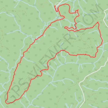
Lost Valley - Capitol State Forest
Interactive map
GPS track profile
About this GPS track
Name: Lost Valley - Capitol State Forest GPS track, route, trail
Start: Greenline, Thurston County, Washington, United States (46.93759 -123.13136)
End: Greenline, Thurston County, Washington, United States (46.93756 -123.13135)
Coordinates: 46.91218 -123.15022 46.93809 -123.11327
Other GPS tracks
Click on a GPS track to view route, its statistics and profile.
Mima Falls MTB ride
United States > Washington > Thurston County
Mountain bike ride in Capitol State Forest
Distance: 29.1 Km • Elevation gain: 971 m • Maximum elevation: 386 m