Mount Storm King
Interactive map
GPS track profile
About this GPS track
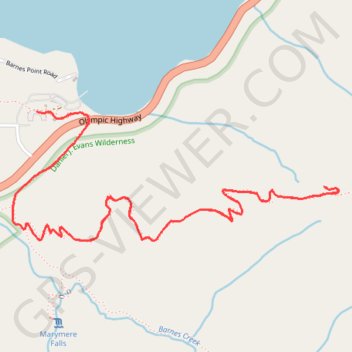
Name: Mount Storm King GPS track, route, trail
Start: Marymere Falls Nature Trail, Clallam County, Washington, United States (48.05817 -123.78951)
End: Marymere Falls Nature Trail, Clallam County, Washington, United States (48.05817 -123.78951)
Coordinates: 48.05336 -123.79083 48.05817 -123.77272
Other GPS tracks
Click on a GPS track to view route, its statistics and profile.